Several plans and projects relate to–and will require consideration and integration into–the design of the Civic Center’s public realm. They are summarized below:
Tenderloin Community Action Plan
(SF Planning, Summer 2022)
The Tenderloin Community Action Plan is a neighborhood-driven collaboration between residents, community organizations, businesses, and City agencies. The Plan will identify current needs for the neighborhood’s diverse culture and population, and develop a collective vision for Tenderloin’s future. It will also develop an action plan for the following priorities identified by the community: housing and homelessness, open space, health and wellness, transit and mobility, economic development, arts and culture, and environmental justice. For more information on these projects visit:
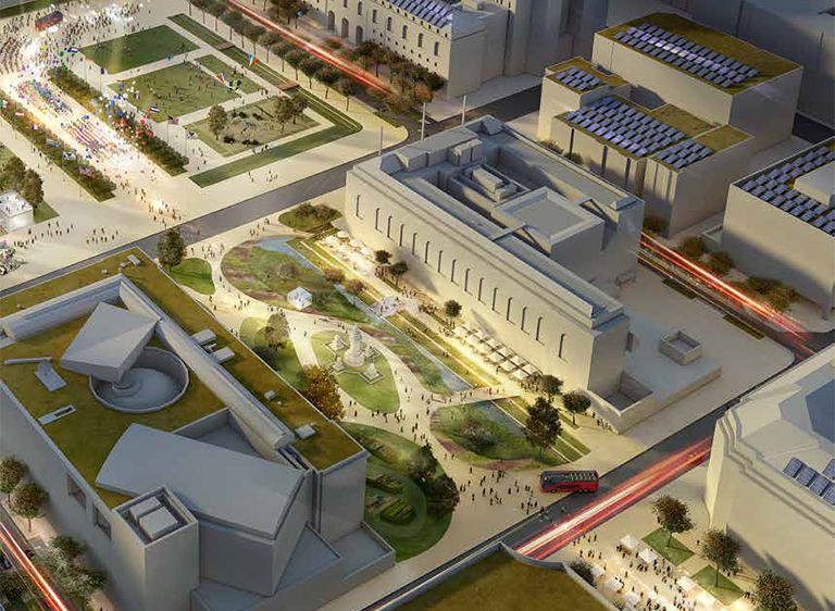
Civic Center Initiative
(Multi-Agency, On-going Project)
The Civic Center Initiative is the City's collective effort to bring more positive and inclusive activity to Civic Center through interactive art installations and play structures, public space stewardship, new workforce development partnerships, and free activities and events. The Civic Center Public Realm Plan will learn from and build off of near-term improvements created by the Initiative. For more information visit:
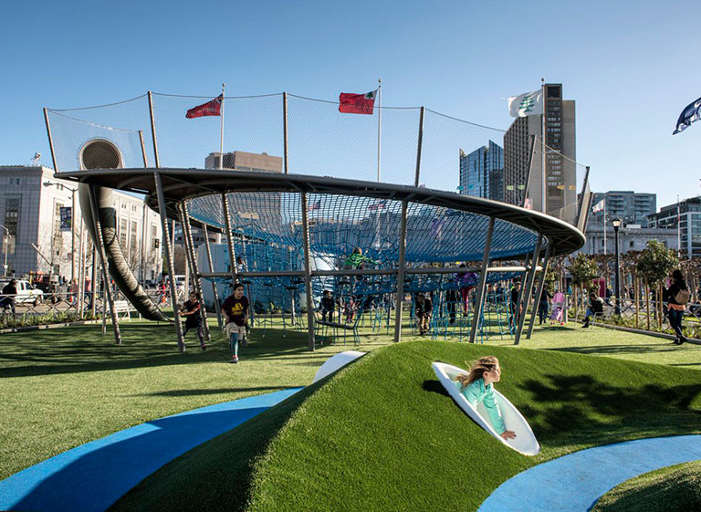
Helen Diller Playgrounds at Civic Center Plaza Improvements
(Recreation and Parks Department, completed in 2018)
San Francisco Recreation and Park Department is partnering with The Trust for Public Land to transform Civic Center Plaza’s playgrounds. The Public Realm Plan will incorporate the new playgrounds into a cohesive design concept for the plaza. For more information visit:
Civic Center Sustainable Utilities District Plan
(SFPUC, June 2015)
The SFPUC’s Civic Center Sustainable Utilities District Plan sets forth a vision for transforming the Civic Center into a vital, active area that minimizes its impact on the natural environment by reducing water and energy consumption. The Civic Center Public Realm Plan will investigate ways to advance these concepts via the design of the public realm. For more information and to download the Plan:
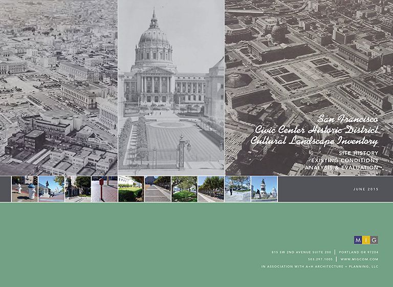
Civic Center Historic District Cultural Landscape Inventory
(SF Planning, June 2015)
The Civic Center Public Realm Plan will use the recently completed Civic Center Cultural Landscape Inventory (CCCLI) as a resource to inform design decisions within the area’s public realm for compatibility with the Civic Center Landmark District. For more information on the CCCLI, visit:
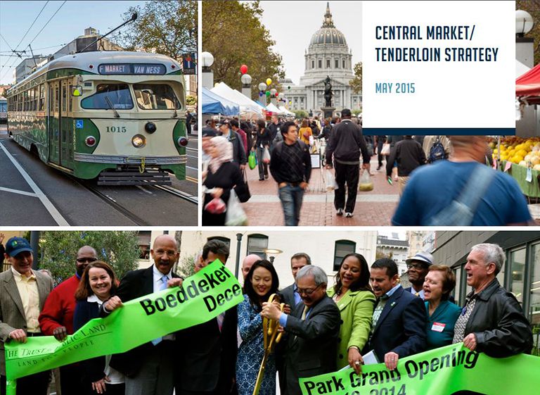
Central Market/Tenderloin Strategy
(City of San Francisco, May 2015)
The 2015 Central Market/Tenderloin Strategy Strategy identifies new economic development interventions in the greater Central Market/Tenderloin area, which includes the Civic Center. The strategy is currently informing near-term improvements to the Civic Center’s public realm focused on stewardship and efforts to foster greater use and activation. Lessons learned via these near-term projects will be incorporated into long-term capital improvements proposed as part of the Public Realm Plan. For more information on the Central Market/Tenderloin Strategy, visit:
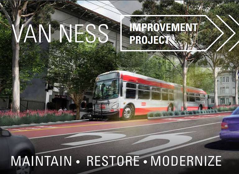
Van Ness Improvement Project
This massive civic improvement project is bringing San Francisco its first Bus Rapid Transit (BRT) system, a much-needed and globally-proven solution to improve transit service and address traffic congestion on Van Ness Avenue, a major north-south arterial which passes through the Civic Center. To maximize the benefits of construction impacts, the project also includes extensive utility maintenance, civic improvements and transportation upgrades. For more information visit:
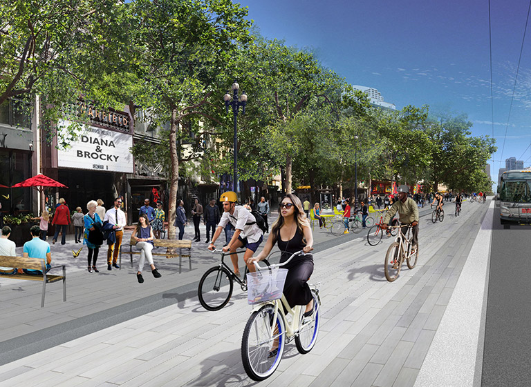
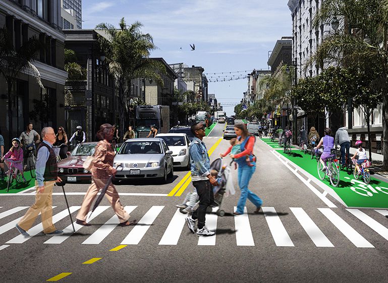
Better Market Street
Better Market Street is a comprehensive program to reconstruct the City’s premier cultural, civic and commercial corridor and the region’s most important transit street from Octavia Boulevard to Steuart Street. Multiple city public agencies are working together to remake our busiest pedestrian street, busiest bicycle thoroughfare and busiest transit corridor, making it easier and safer for people to get around and creating a vibrant and inclusive destination where people want to live, work and visit. For more information visit:
Polk Streetscape Project
The Polk Streetscape Project is an effort to increase safety for people walking and biking on Polk Street, as well as improve the efficiency of transit on the corridor. This project will build on Polk Street's vibrant commercial character by improving safety and transportation choices. The project’s boundaries run on Polk Street from Union to McAllister streets, north of Civic Center. For more information visit:
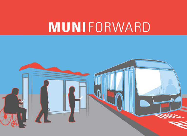
SFMTA Muni Forward (19-Polk and 5-Fulton Projects)
Muni Forward is a program to enhance safety for people walking, create a Rapid Network, and improve Muni reliability via service changes and transit priority projects. The program includes improvements to the 19-Polk and 5-Fulton Muni transit corridors in the Civic Center. For more information on these projects visit: